
Field Name Book description from 1838/1839 noted by the surveyors who produced the O.S maps originally.
B.S.S.M. : 12
Cloch-Mhaighin , stony plain.
- Cloghmoyne : J. 0’D,
- Cloghmoyne : Meresman
- Cloghmoyn : County Map
- Cloughmoyne : Rev. Jas. Geraghty
Situated in the south side of the parish. It is bounded on the N. by the td. of Ballisnahyny; E, by Toorard td.; S, by Moyne td.; and on the W. by the td. of Mounthenry.
Placenames
- Graffe
- Kilroe Hill
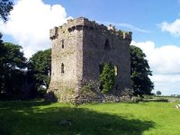
Historical & Archaeological features
h
Ecology & Habitats
e